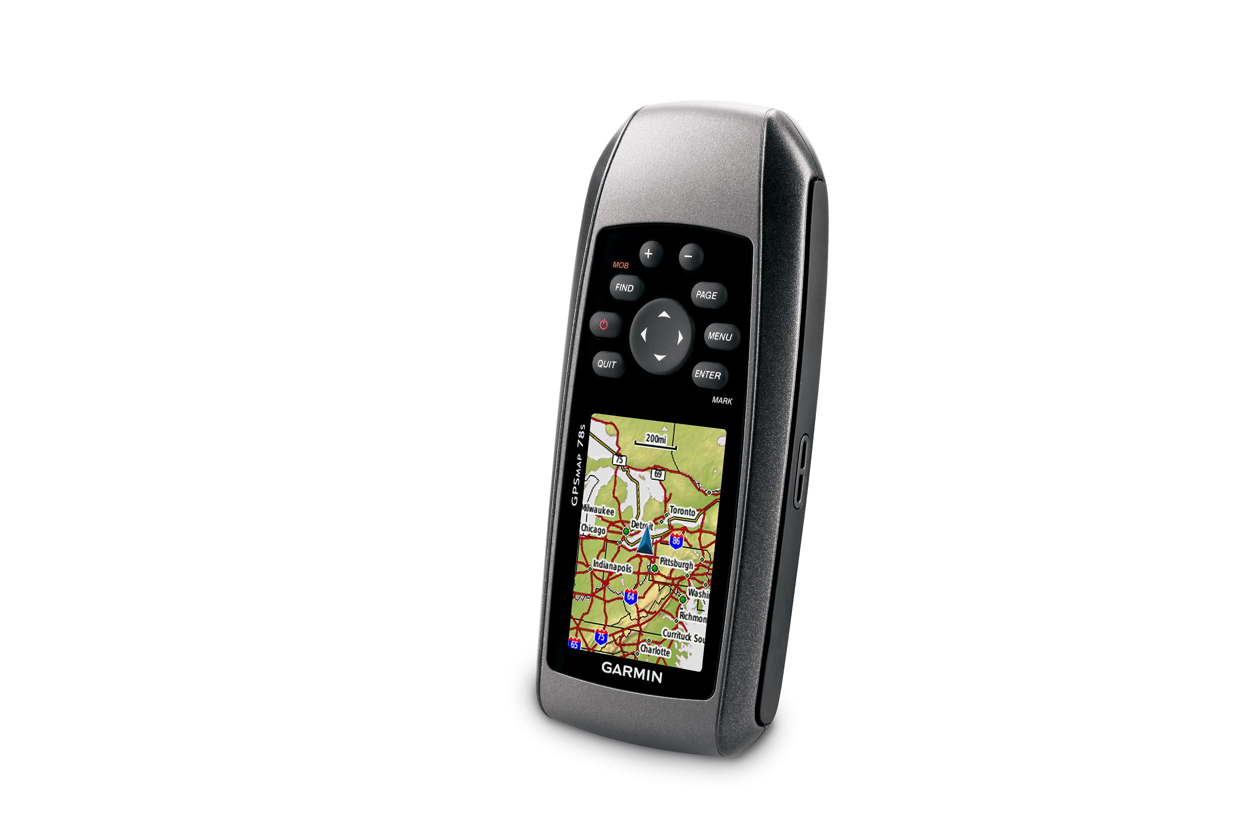
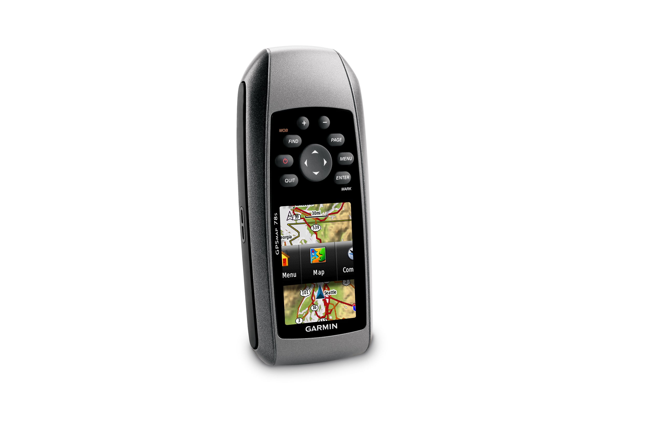
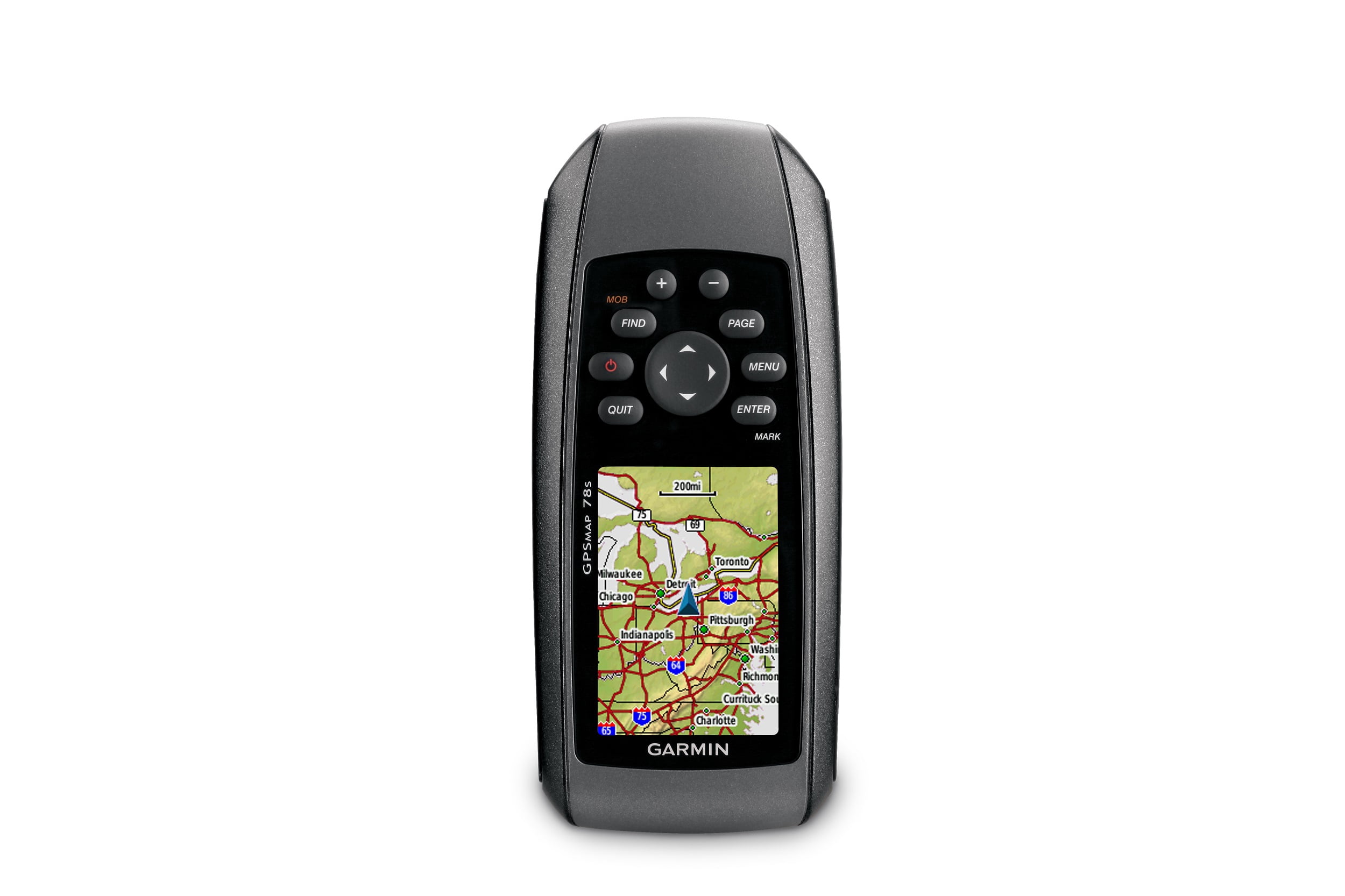
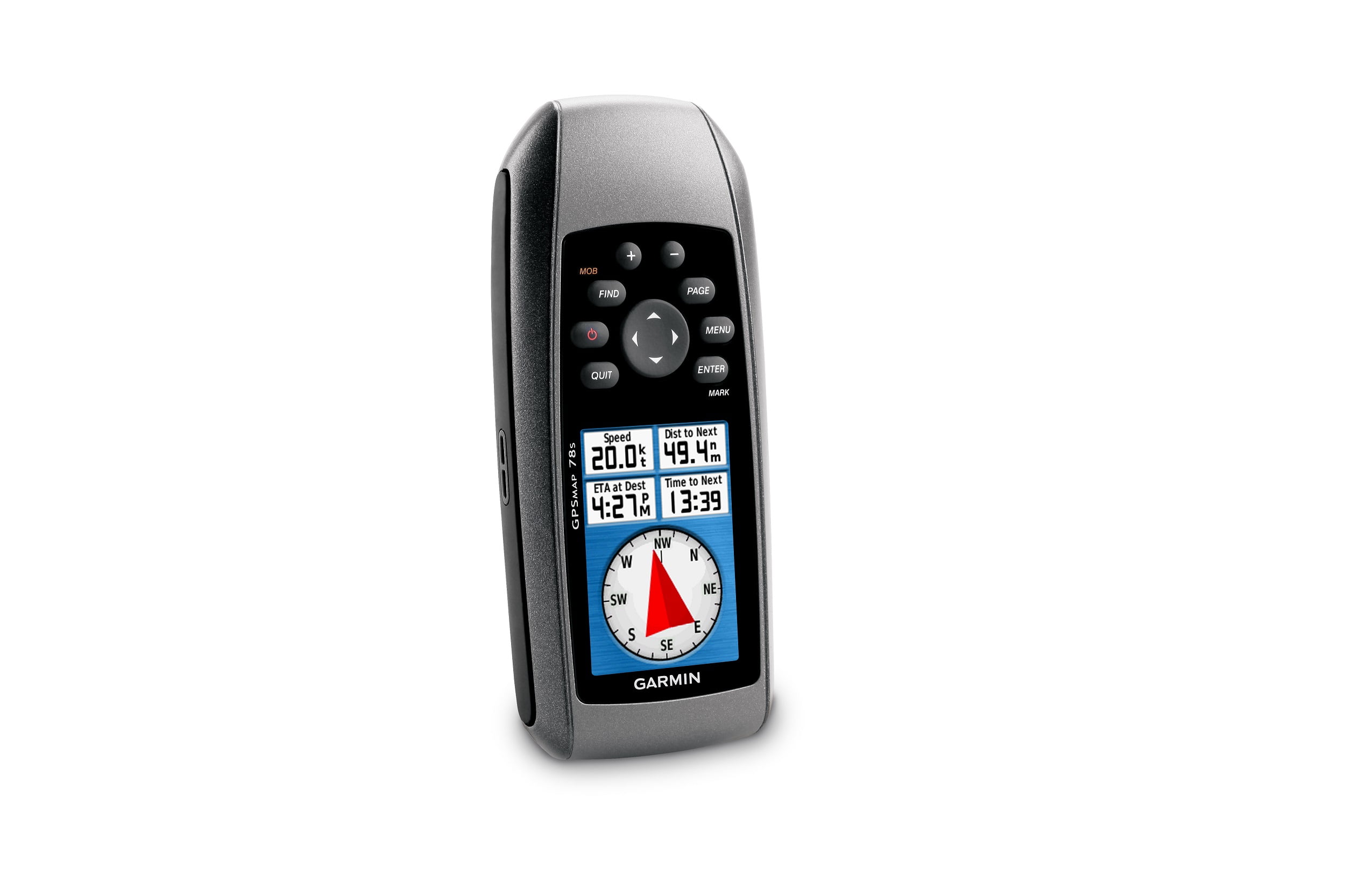
GPSMAP 78sc comes with built-in BlueChart® g2 coastal charts and a worldwide basemap with imagery — perfect for all your outdoor pursuits GPSMAP 78sc has a built-in 3-axis tilt-compensated electronic compass, which shows your heading even when you’re standing still, without holding it level With GPSMAP 78sc you can share your waypoints, tracks, routes and geocaches wirelessly with other compatible device users With its high-sensitivity, WAAS-enabled GPS receiver and HotFix™ satellite prediction, GPSMAP 78sc locates your position quickly and precisely and maintains its GPS location even in heavy cover and deep canyons Adding more maps is easy with our wide array of detailed marine, topographic and road maps, available on microSD card GPSMAP 78sc supports geocaching GPX files for downloading geocaches and details straight to your unit
GPSMAP78Sc,US
$300.91
Out of stock
Garmin GPSMAP 78sc Garmin international is pleased to announce the next generation in marine handhelds: the GPSMAP 78 series. Incorporating a sleek, new design and must-have features, these rugged units are a great fit in Garmin’s best-selling lineup of color marine handhelds and they float! Featuring a bright 2.6-inch LCD color display with built-in basemap and high sensitivity GPS receiver with HotFix, the GPSMAP 78 series takes recreational navigation to a new level. All three models are waterproof, include a built-in microSD card slot for loading additional maps and have a dedicated MOB (man over board) button. The 78sc model includes the sensors, plus it comes preloaded with coastal charts for the United States – including Alaska, Hawaii and Explorer Chart data for the Bahamas. Sensor versions (78s and 78sc) also offer wireless route and waypoint sharing with other compatible units. If you’re looking for the ulitmate high-performance marine handheld, take your pick from the GPSMAP 78 series. Features: High-sensitivity, WAAS-enabled GPS receiver and HotFix Floats Rugged, waterproof (IEC 60529 IPX7) Worldwide built-in basemap with shaded relief 1.7 GB of internal memory, plus microSD card slot for optional mapping and data storage Wirelessly share thumbnails, routes, tracks, waypoints and geocaches between compatible units Bright 2.6″ LCD sunlight readable color display (160 x 240 pixels) 3-axis compass, provides accurate heading even when the unit is not held level (78s, 78sc) Barometric altimeter tracks pressure changes to pinpoint your precise altitude and to help monitor weather (78s,78sc) High-speed USB interface (78s, 78sc) and NMEA 0183 (GPSMAP 78 series) Up to 20 hours of battery life; battery type: 2AA (not included) NiMH or lithium recommended Weight: 7.7 oz. with batteries Package Includes: Unit, USB cable, wrist strap and quick start manual WARNING: This product can expose you to chemicals which are known to the State of California to cause cancer, birth defects or other reproductive harm. For more information go to P65Warnings.ca.gov.
Free shipping on all orders!
- Providing Exceptional Support!
- Our Commitment: Your Satisfaction, Guaranteed!
- Your Security Matters: Secure Payments!
Description
Additional information
| Brand | Wynit Distribution |
|---|---|
| Model | 78sc |
| UPC | 753759100926 |
| Color | Silver |
Reviews (0)
Only logged in customers who have purchased this product may leave a review.
Related products
- Sports & Outdoors
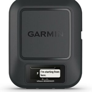
Garmin inReach® Messenger Handheld Satellite Communicator, Global Two-Way Messaging
$257.99 - Sports & Outdoors
CaddyTek Caddy lite Ez Version 8 Lime Golf Push & Pull Carts
$187.77Original price was: $187.77.$128.99Current price is: $128.99.
Recently Viewed Products
- Sports & Outdoors
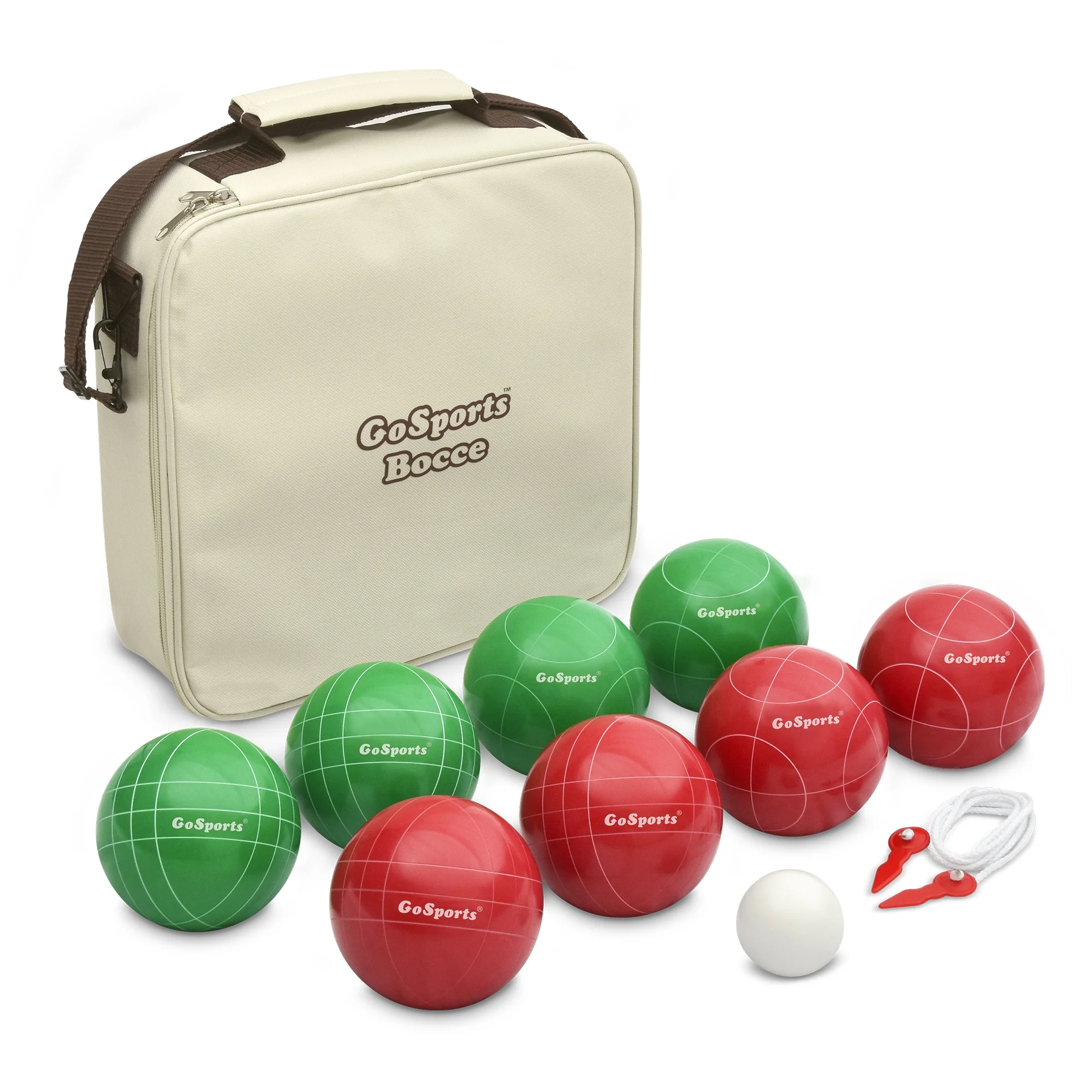
GoSports 100mm Regulation Bocce Set with 8 Balls, Pallino, Case and Measuring Rope
$47.29 - Sports & Outdoors
Machrus Upper Bounce 48″ Mini Trampoline with Adjustable Handbar – Round Foldable Rebounder Fitness Trampoline for Kids & Adults
$84.01Original price was: $84.01.$68.79Current price is: $68.79.










Reviews
There are no reviews yet.